Problem
People, especially those new to an area, often don't know where the nearest clinic or pharmacy is. A searchable map of every facility answers that in seconds.
Approach
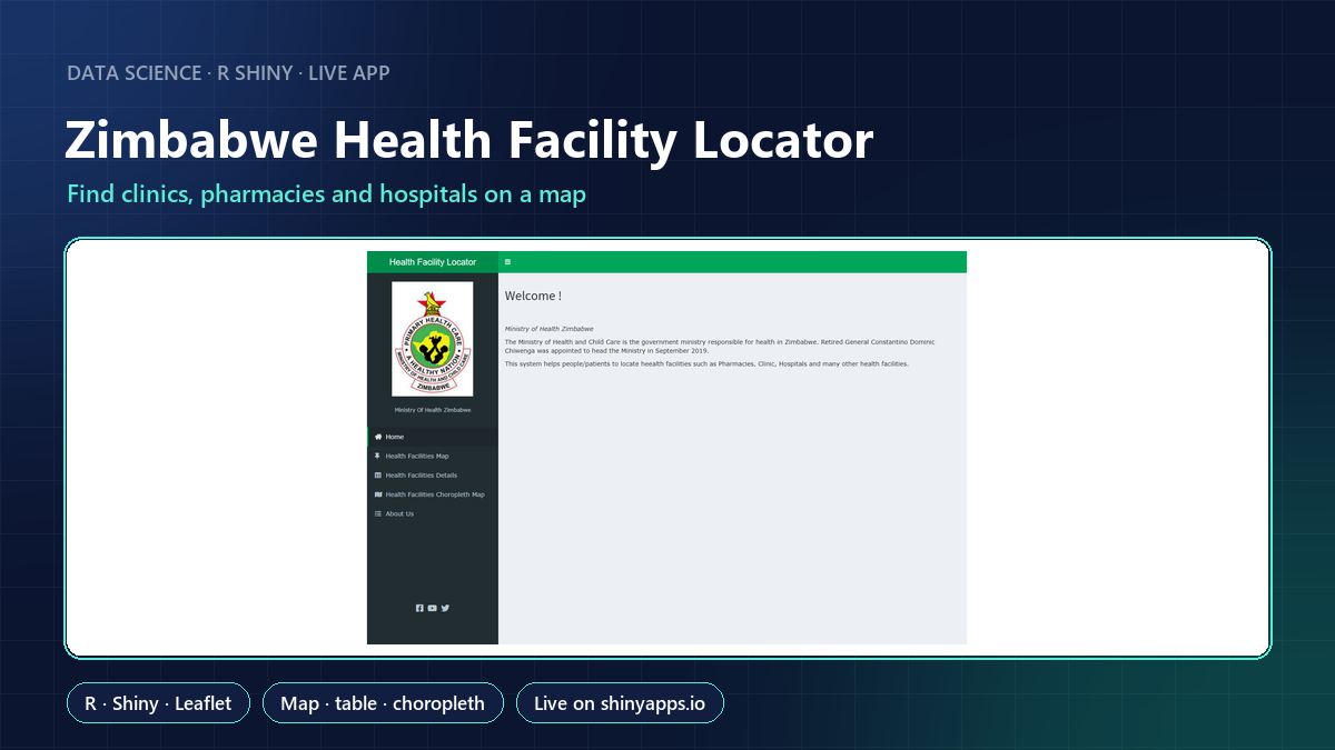
An R Shiny dashboard with four views:
- Health Facilities Map: every facility on a Leaflet map, with details on click.
- Health Facilities Details: a searchable, sortable table.
- Choropleth Map: facilities per region, to show where coverage is thin.
- About: background on the app.
Result
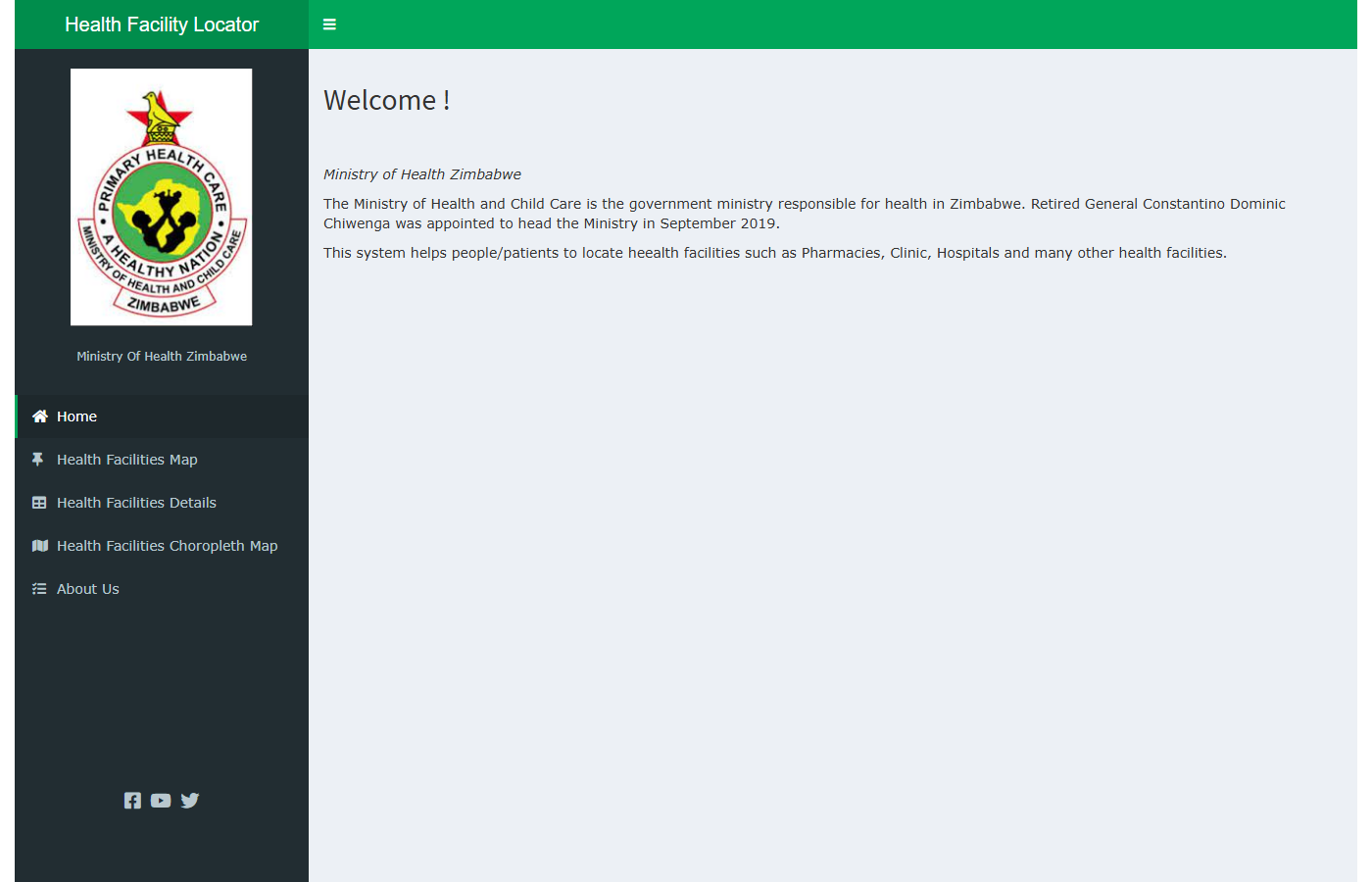
The app is live on shinyapps.io. It's an independent portfolio project, not an official Ministry of Health and Child Care system.
What this shows
Turning location data into a public-facing tool: interactive mapping, search and regional summaries in R Shiny, deployed and kept running.